 GP3D
GP3D
GP3D
GP3D
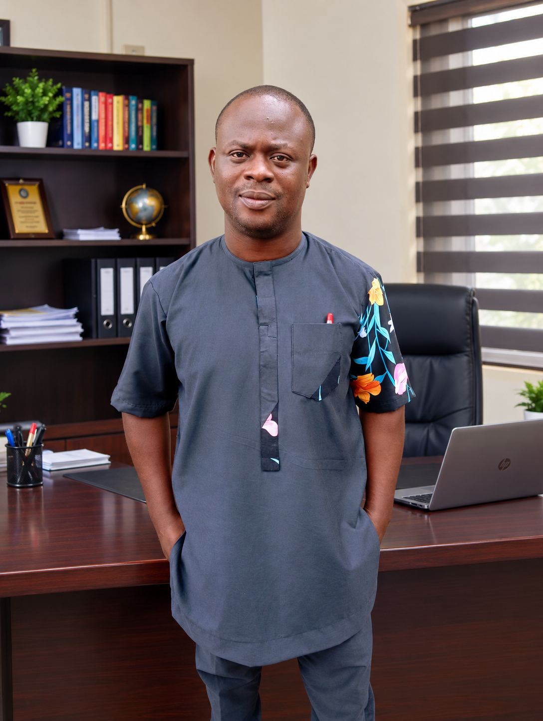
Founder & Lead Geospatial Consultant
At Geoinformation Production & 3D Model Enterprise (GP3D), we transform Earth observation data into practical solutions that support research, environmental management, engineering projects and sustainable development.
With over 10 years of professional experience, we deliver innovative GIS, Remote Sensing, Geospatial Analysis and 3D Modelling solutions using industry-leading technologies such as ArcGIS Pro, QGIS, Google Earth Engine, Python for GIS, Global Mapper, Idrisi TerrSet, Surfer and much more.
We proudly serve governments, NGOs, private organisations, research institutions and students by providing professional consultancy services, geospatial research support and practical industry-focused training through GP3D Academy. Our goal is to transform complex spatial data into meaningful insights that drive better decision-making.
Years of Experience
Professional GIS Platforms
Projects & Training
We provide innovative GIS, Remote Sensing and 3D modelling solutions that empower organisations, researchers and communities to make informed decisions through accurate geospatial intelligence.
We aim to become one of Africa's leading geospatial solution providers, recognised for excellence in research, professional training and cutting-edge spatial technologies.
We are committed to delivering accurate, reliable and client-focused geospatial services while building the next generation of GIS and Remote Sensing professionals through hands-on practical training.
We combine technical expertise, practical experience and modern geospatial technologies to deliver solutions that create real-world impact.